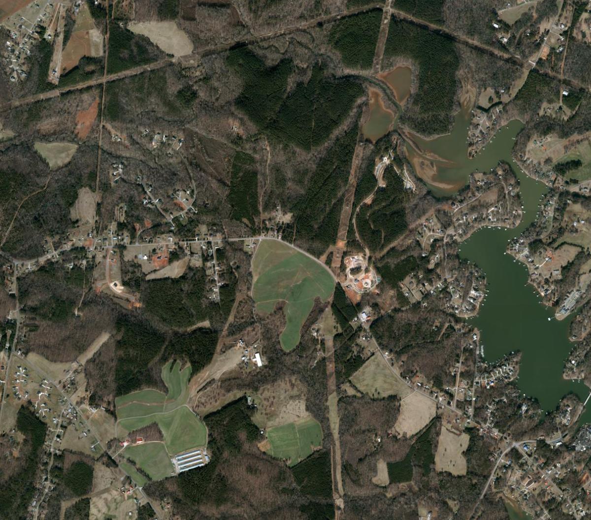
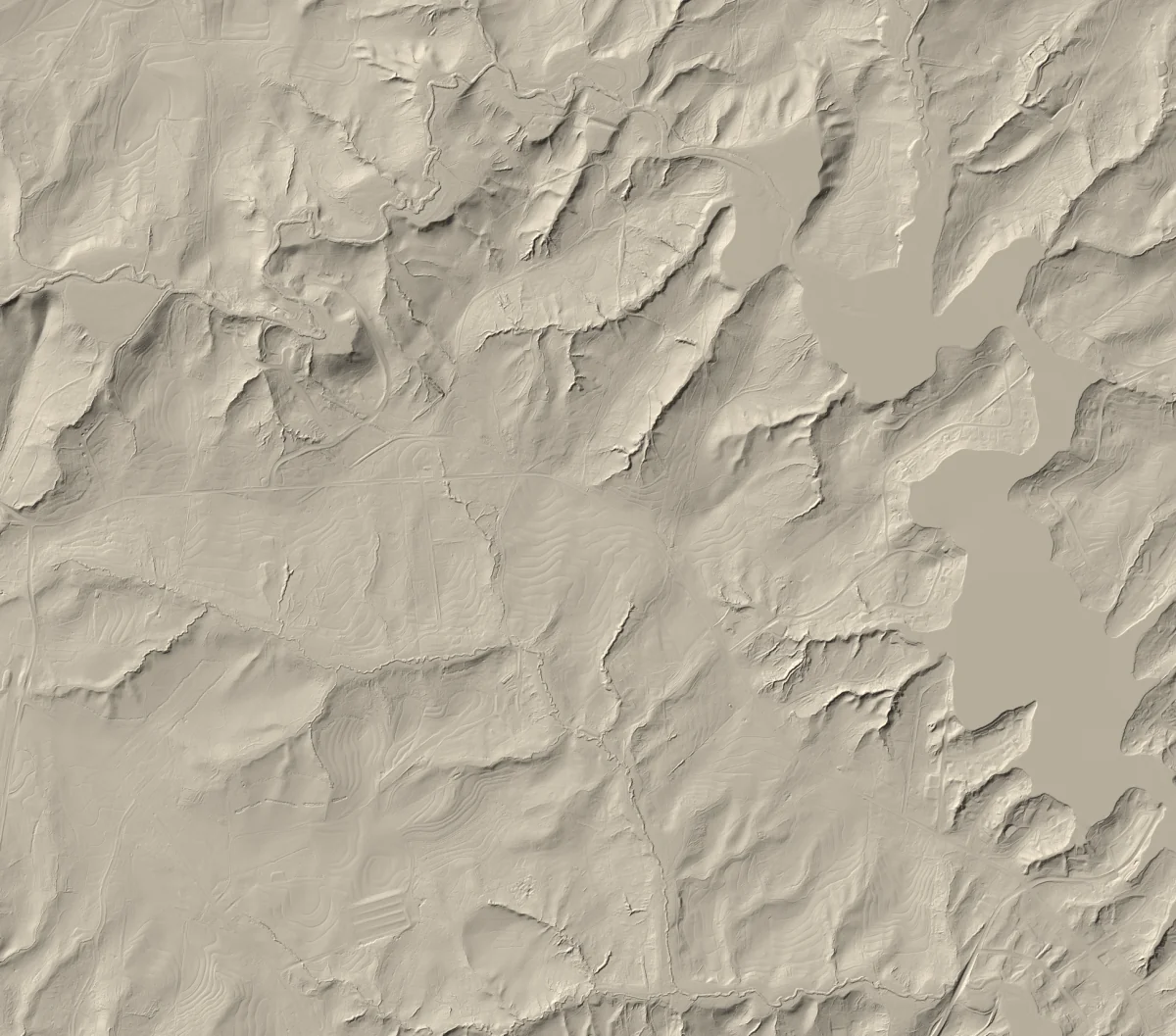
The map is free for education, research, and exploration. Elevations are samples from a published ground model and can be affected by source accuracy, interpolation, surface change, NoData areas, and horizontal position.
Source specification: 3.125-foot cells, US survey feet, and NAVD88/GEOID12B describe spacing, units, and reference datum. They do not establish positional or elevation accuracy. Independent validation has not established survey-grade accuracy.
Do not use this viewer as a substitute for professional surveying, legal property-boundary determination, engineering, construction, certified elevation measurements, or safety-critical navigation. Consult the responsible agency and qualified professionals for decisions requiring certified data.
The county download is a raw DEM ZIP of about 4.66 GB (4,662,220,327 bytes), intended for GIS software. Allow storage for both the ZIP and extracted data. Downloading it is not needed to use this map.