Published coverage · Catawba County
Beneath the canopy, a landscape unfolds.
Compare official aerial imagery with a countywide bare-earth terrain surface across Hickory, Newton, Conover, Lake Norman’s upper reaches, and the western foothills.
Open Catawba County map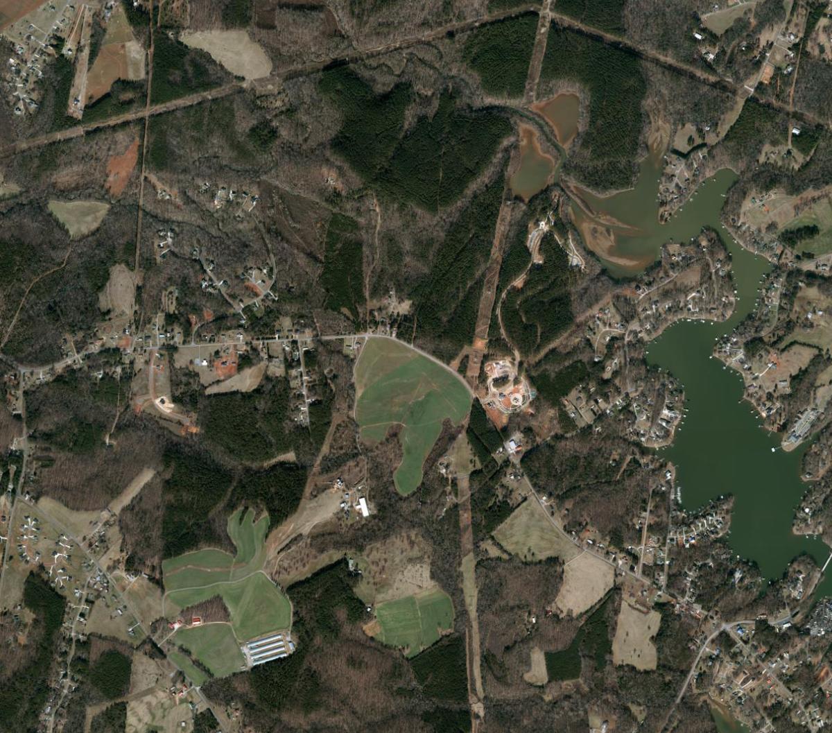
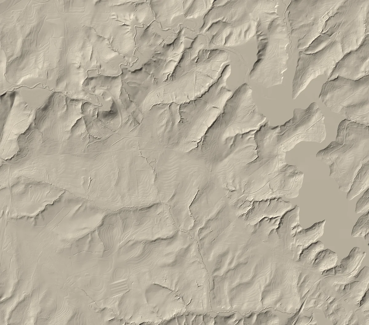
Drag to compare, or use the arrow keys.
NC OneMap imagery · NC Emergency Management terrain
Aerial 2022 · LiDAR 2016–2017 · Source details
Why compare?
Two views tell a fuller story.
Aerial imagery shows canopy at the imagery collection date, streets, buildings, water, and fields. Bare-earth relief emphasizes the form underneath: Bakers Mountain, tributary valleys feeding the Catawba River, road cuts, embankments, and subtle slopes that can disappear beneath vegetation.
The terrain was collected in 2016–2017. The “2025 QL1” name is a later delivery label and does not mean the elevation surface was measured in 2025. The explorer keeps those dates separate.
Explore a familiar place
Search Bakers Mountain Park, Riverbend Park, Hickory, Newton, or a street address—then drag the divider.