Start with the familiar view
The aerial side shows the landscape as it appears from above: tree canopy, streets, buildings, rivers, and fields.
What is LiDAR?
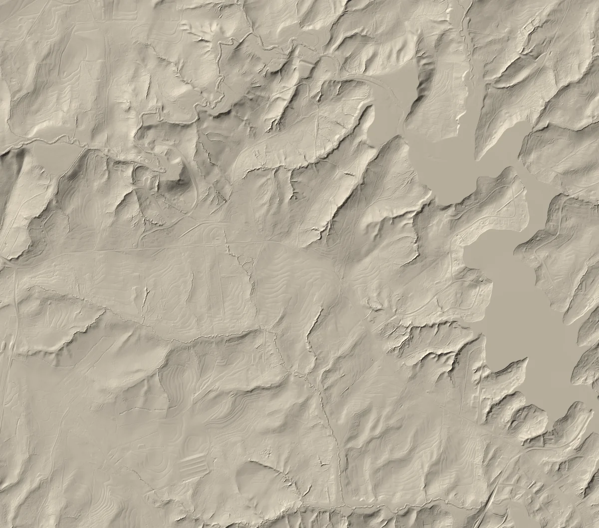
Airborne laser measurements can separate the shape of the land from trees and structures. This explorer places that bare-earth surface beside official aerial imagery, so the difference is visible immediately.
Explore the map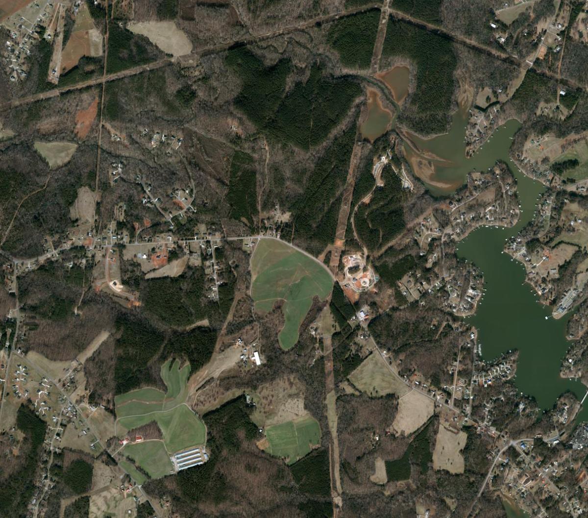
Drag to compare, or use the arrow keys.
NC OneMap imagery · NC Emergency Management terrain
Aerial 2022 · LiDAR 2016–2017 · Source details
The aerial side shows the landscape as it appears from above: tree canopy, streets, buildings, rivers, and fields.
Drag the divider to uncover a shaded bare-earth model derived from LiDAR elevation measurements.
Ridges, stream valleys, road grades, terraces, and other terrain forms become easier to understand.
Built for exploration
The interface keeps technical machinery in the background. Search for a place, compare two views, and tap for a simple elevation. Collection dates and source details remain close at hand when you want to understand where the picture came from.
Catawba County is the first complete publication. Elsewhere in North Carolina, search and aerial imagery continue to work while the map clearly identifies areas where bare-earth terrain has not yet been published.